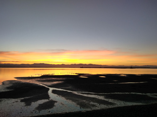
The Waimea Estuary is the second largest estuary (3,462 ha) in the South Island and covers the area between Nelson-Richmond and Māpua. It is a shallow, tidal lagoon type estuary with a large barrier sand island (Motuora/Rabbit Island) separating the estuary from Tasman Bay. The relatively large Waimea River flows into the estuary in the middle and flows out each side of Motuora/Rabbit Island. Many small hill-fed streams and a few important spring-fed streams also flow into the estuary. The estuary almost completely drains at low tide (<20% is sub-tidal).
The estuary has been extensively modified, current catchment landuse is 33% indigenous forest, 32% exotic forest, 20% productive grassland, 4% crop/orchard/vineyard, 3% urban.
It is home to internationally significant migratory bird species and nationally significant rushland values and other endangered or threatened species. These include birds such as bartailed godwit, white heron, royal spoonbill, little egret, Australasian bittern, and banded rail, and plants such as coastal peppercress and grey salt bush.
More information and monitoring data is also available on the LAWA website(external link).
For easier viewing, use this link to open this summary in a new window.
The input of mud-dominated sediment appears to be largely historical, with anecdotal reports of high inputs sourced, in part, following the development of orchard land in the 1950’s and 1960’s. Seagrass beds are sparse across the estuary, covering ~2% of the intertidal area and located almost exclusively near the well-flushed entrance channel and central basin of the eastern arm. There has been a decrease in the extent of the beds since 2014 (largely attributable to improved mapping accuracy), and >60% reduction since the first records in 1990 (reflecting actual losses). Nuisance opportunistic algal growths are uncommon, but a few localised hotspots (~20ha) occur (mainly of the red seaweed Gracilaria chilensis). Salt marsh remains a significant feature of the estuary (~10% of the intertidal) and is dominated by herbfield species. However, its prevalence is greatly reduced from its assumed historic extent through drainage, reclamation, margin development and channelisation. Since 1946 there has been a further reduction in salt marsh area of ~24%. Currently, initiatives are underway to enhance or restore some of this high-value habitat. The terrestrial margin bordering the estuary is highly modified and comprises very few habitat features that are in their natural state. Only 18% of the 200m-wide margin was classified as densely vegetated in 2020, the majority of which is exotic forestry. In many areas the terrestrial margin has been highly modified by roading, causeways, seawalls, reclamations, or land clearance.
TDC and NCC have conducted broad-scale mapping using the National Estuary Monitoring protocol in 1999/2001, 2006, 2014, and 2020 and fine-scale surveys in 2001, 2006, 2014, 2015, 2016.
Overall, despite extensive historical habitat modification, significantly reduced habitat diversity, and large areas of mud-dominated sediments, Waimea Inlet retains many areas of very significant ecological value. However, the prevalence of mud-dominated substrate, the persistence of localised dense macroalgal beds, and pressures on salt marsh near the estuary margin from drainage and reclamation are key broad scale habitat stressors that threaten these values. Salt marsh losses are likely to increase in future in response to sea level rise due to the current limited capacity for landward migration. Reductions in sediment loads, and targeted management of localised nutrient inputs, will be required to improve estuary condition.
Several projects are underway to restore and enhance this internationally significant estuary. Follow the latest updates on the individual project pages.
Waimea Inlet Billion Trees Phase Two
The Waimea Inlet Strategy and underlying Action Plan aim to improve the health of the Inlet and people's enjoyment of this special place. Read more about it on this page.
Last modified: